 geo.be Metadata Catalog
Resolution
33.33 m
Type of resources
Available actions
Topics
INSPIRE themes
federalThemes
Keywords
Contact for the resource
Provided by
Years
Formats
Representation types
Update frequencies
status
Resolution
From
1
-
1
/
1
-
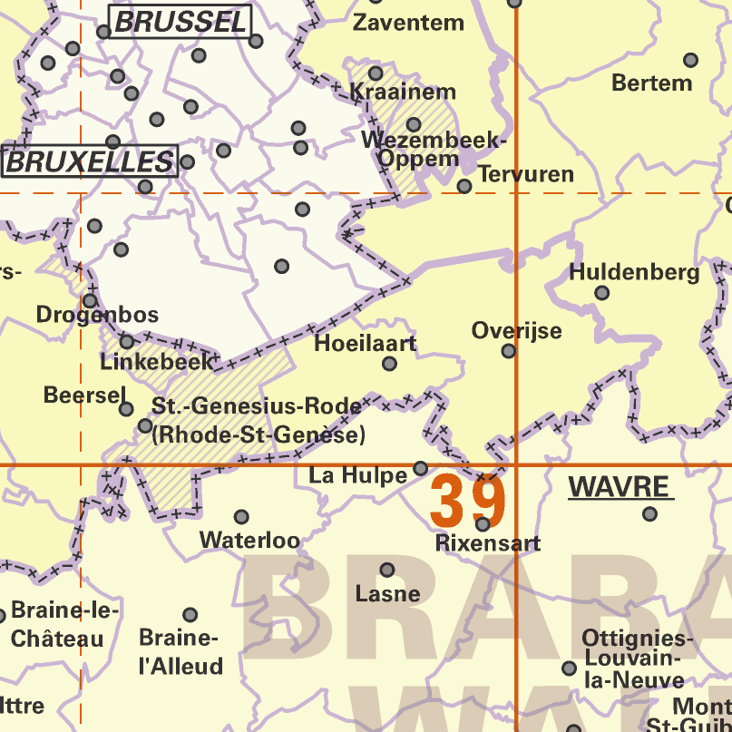
AdminMap is the digital version of the administrative map. Two versions exist: the most complete one on the scale of 1:300 000 and a simplified version on the scale of 1:500 000. These maps show the different administrative units on the Belgian territory, from the federal State to the center of the districts for the 1:500 000. The map also shows the map grid of the National Geographic Institute. An index allows localizing the different units. The index also contains information on the linguistic statutes and on the postal codes.